The tomb of Henry Bell (detail)
Introduction
The photograph on this page of The tomb of Henry Bell (detail) by Lairich Rig as part of the Geograph project.
The Geograph project started in 2005 with the aim of publishing, organising and preserving representative images for every square kilometre of Great Britain, Ireland and the Isle of Man.

There are currently over 7.5m images from over 14,400 individuals and you can help contribute to the project by visiting https://www.geograph.org.uk
The tomb of Henry Bell (detail)
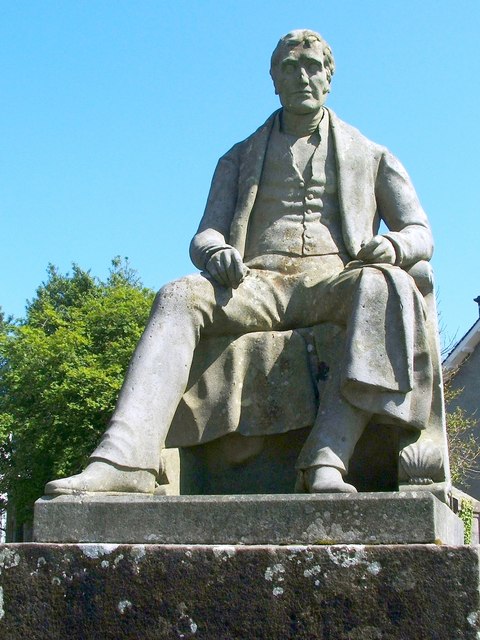
Image: © Lairich Rig Taken: 3 Jun 2011
The monument to the engineer Henry Bell stands in the kirkyard of Image It was erected by fellow engineer Robert Napier. For a view of the whole memorial in context, and for the main description, see Image
Images are licensed for reuse under creativecommons.org/licenses/by-sa/2.0
Image Location
Latitude
56.017505
Longitude
-4.781198