Hollingwood Crescent
Introduction
The photograph on this page of Hollingwood Crescent by Andrew Hill as part of the Geograph project.
The Geograph project started in 2005 with the aim of publishing, organising and preserving representative images for every square kilometre of Great Britain, Ireland and the Isle of Man.

There are currently over 7.5m images from over 14,400 individuals and you can help contribute to the project by visiting https://www.geograph.org.uk
Hollingwood Crescent
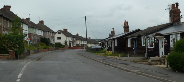
Image: © Andrew Hill Taken: 10 Jun 2011
The street has traditional council houses on one side and a line of surviving prefabricated bungalows on the other. Looking across the end of Birch Lane on the left.
Images are licensed for reuse under creativecommons.org/licenses/by-sa/2.0
Image Location
Latitude
53.265349
Longitude
-1.381218