Kirkby Lane, Hunt's Lane
Introduction
The photograph on this page of Kirkby Lane, Hunt's Lane by Kate Jewell as part of the Geograph project.
The Geograph project started in 2005 with the aim of publishing, organising and preserving representative images for every square kilometre of Great Britain, Ireland and the Isle of Man.

There are currently over 7.5m images from over 14,400 individuals and you can help contribute to the project by visiting https://www.geograph.org.uk
Kirkby Lane, Hunt's Lane
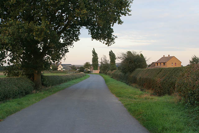
Image: © Kate Jewell Taken: 21 Sep 2006
Hunt's Lane is a hamlet strung along the B582 between Newbold Verdon and Desford. A few houses are on Kirkby Lane; Cottage Farm, on the bend in the road, being the most substantial.
Images are licensed for reuse under creativecommons.org/licenses/by-sa/2.0
Image Location
Latitude
52.627783
Longitude
-1.324649