View to High Royds
Introduction
The photograph on this page of View to High Royds by Michael Dibb as part of the Geograph project.
The Geograph project started in 2005 with the aim of publishing, organising and preserving representative images for every square kilometre of Great Britain, Ireland and the Isle of Man.

There are currently over 7.5m images from over 14,400 individuals and you can help contribute to the project by visiting https://www.geograph.org.uk
View to High Royds
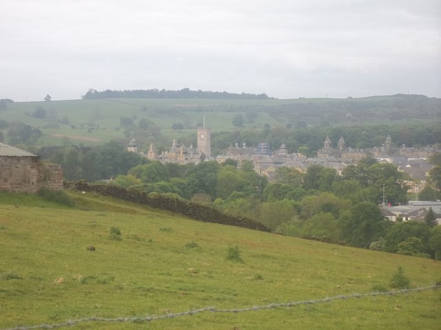
Image: © Michael Dibb Taken: 21 May 2011
From Chevin End Road, the land drops away into the valley of Mire Beck. In the distance is seen the former High Royds Psychiatric Hospital now converted into a residential village.
Images are licensed for reuse under creativecommons.org/licenses/by-sa/2.0
Image Location
Latitude
53.890509
Longitude
-1.721828