B5066 Sandon Road Stafford
Introduction
The photograph on this page of B5066 Sandon Road Stafford by Stephen Pearce as part of the Geograph project.
The Geograph project started in 2005 with the aim of publishing, organising and preserving representative images for every square kilometre of Great Britain, Ireland and the Isle of Man.

There are currently over 7.5m images from over 14,400 individuals and you can help contribute to the project by visiting https://www.geograph.org.uk
B5066 Sandon Road Stafford
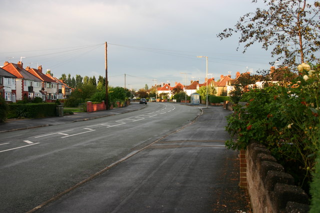
Image: © Stephen Pearce Taken: 22 Sep 2006
Looking out of town along the B5066 with the junction of Fontill Road just on the right. The houses are all built in the 1930's.
Images are licensed for reuse under creativecommons.org/licenses/by-sa/2.0
Image Location


Leaflet Map data © OpenStreetMap
Latitude
52.821314
Longitude
-2.109174