Fuller Close, Desford
Introduction
The photograph on this page of Fuller Close, Desford by Kate Jewell as part of the Geograph project.
The Geograph project started in 2005 with the aim of publishing, organising and preserving representative images for every square kilometre of Great Britain, Ireland and the Isle of Man.

There are currently over 7.5m images from over 14,400 individuals and you can help contribute to the project by visiting https://www.geograph.org.uk
Fuller Close, Desford
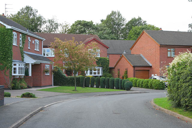
Image: © Kate Jewell Taken: 21 Sep 2006
A small housing estate tucked into a triangle of land formed by Leicester Lane, Station Road and Barns Way.
Images are licensed for reuse under creativecommons.org/licenses/by-sa/2.0
Image Location
Latitude
52.627113
Longitude
-1.286987