Benchmark on the Lord Mayor's Chapel, Bristol
Introduction
The photograph on this page of Benchmark on the Lord Mayor's Chapel, Bristol by Neil Owen as part of the Geograph project.
The Geograph project started in 2005 with the aim of publishing, organising and preserving representative images for every square kilometre of Great Britain, Ireland and the Isle of Man.

There are currently over 7.5m images from over 14,400 individuals and you can help contribute to the project by visiting https://www.geograph.org.uk
Benchmark on the Lord Mayor's Chapel, Bristol
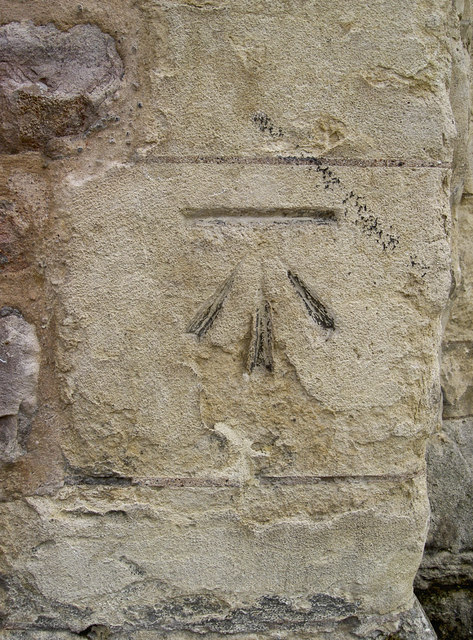
Image: © Neil Owen Taken: 8 Jun 2011
A cut mark (as listed in the Benchmark Database - http://www.bench-marks.org.uk/bm33690 ) on the left side of the Lord Mayor's Chapel. For a detailed history try this site - http://www.about-bristol.co.uk/chu-10.asp.
Images are licensed for reuse under creativecommons.org/licenses/by-sa/2.0
Image Location
Latitude
51.452912
Longitude
-2.600504