Blaendare Farm Lane, Upper Race, Pontypool
Introduction
The photograph on this page of Blaendare Farm Lane, Upper Race, Pontypool by Jaggery as part of the Geograph project.
The Geograph project started in 2005 with the aim of publishing, organising and preserving representative images for every square kilometre of Great Britain, Ireland and the Isle of Man.

There are currently over 7.5m images from over 14,400 individuals and you can help contribute to the project by visiting https://www.geograph.org.uk
Blaendare Farm Lane, Upper Race, Pontypool
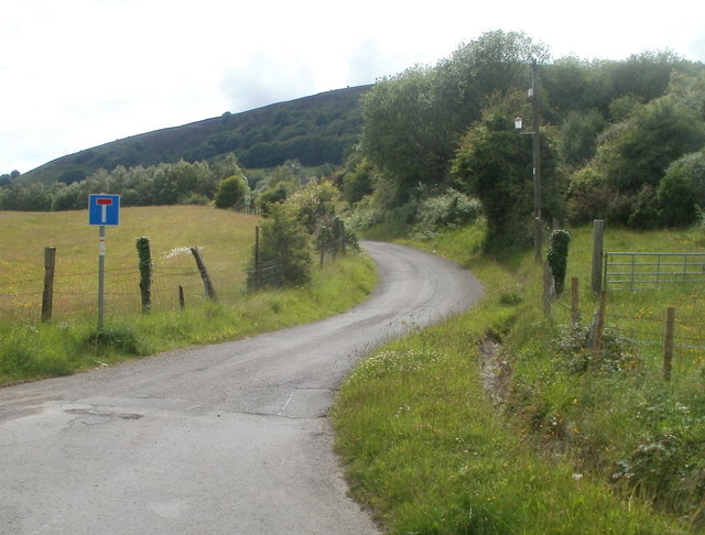
Image: © Jaggery Taken: 9 Jun 2011
The lane curves away to SW from a large turning area. http://www.geograph.org.uk/photo/2452743 Blaendare House is about 500 metres away.
Images are licensed for reuse under creativecommons.org/licenses/by-sa/2.0
Image Location
Latitude
51.69044
Longitude
-3.051682