SW end of Blaendare Road, Pontypool
Introduction
The photograph on this page of SW end of Blaendare Road, Pontypool by Jaggery as part of the Geograph project.
The Geograph project started in 2005 with the aim of publishing, organising and preserving representative images for every square kilometre of Great Britain, Ireland and the Isle of Man.

There are currently over 7.5m images from over 14,400 individuals and you can help contribute to the project by visiting https://www.geograph.org.uk
SW end of Blaendare Road, Pontypool
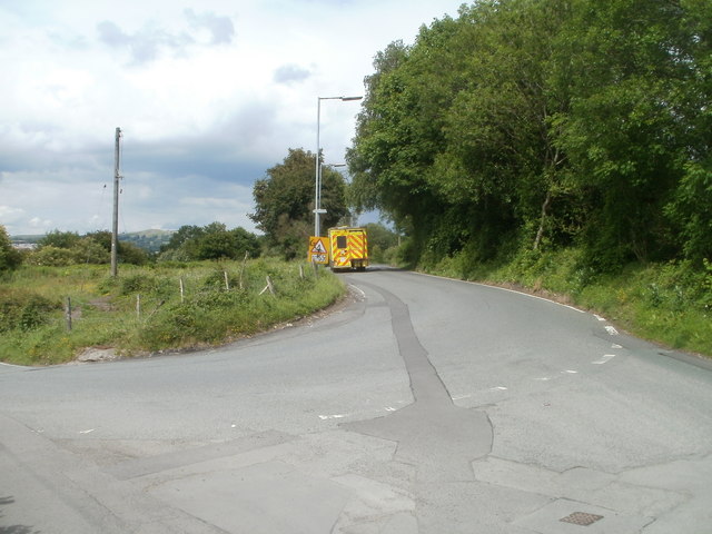
Image: © Jaggery Taken: 9 Jun 2011
Viewed from the edge of this http://www.geograph.org.uk/photo/361595 200 degree bend in the road. On an emergency callout, an ambulance has ascended from Lower Race, negotiated the sharp bend, and is speeding along Blaendare Road towards the centre of Pontypool.
Images are licensed for reuse under creativecommons.org/licenses/by-sa/2.0
Image Location
Latitude
51.691365
Longitude
-3.04881