Fork in the tracks at St Martins
Introduction
The photograph on this page of Fork in the tracks at St Martins by David Smith as part of the Geograph project.
The Geograph project started in 2005 with the aim of publishing, organising and preserving representative images for every square kilometre of Great Britain, Ireland and the Isle of Man.

There are currently over 7.5m images from over 14,400 individuals and you can help contribute to the project by visiting https://www.geograph.org.uk
Fork in the tracks at St Martins
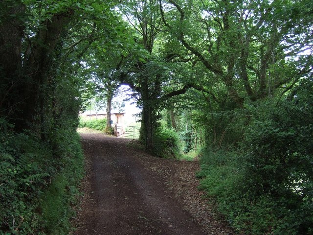
Image: © David Smith Taken: 10 Jun 2011
The house (St Martins) is between the two tracks. It is a conversion of an old chapel Image The track to the left is Northdown Road, and to the left Leecross Lane descends to Lee Cross Image
Images are licensed for reuse under creativecommons.org/licenses/by-sa/2.0
Image Location
Latitude
50.83542
Longitude
-3.520726