Shore Access
Introduction
The photograph on this page of Shore Access by Anne Burgess as part of the Geograph project.
The Geograph project started in 2005 with the aim of publishing, organising and preserving representative images for every square kilometre of Great Britain, Ireland and the Isle of Man.

There are currently over 7.5m images from over 14,400 individuals and you can help contribute to the project by visiting https://www.geograph.org.uk
Shore Access
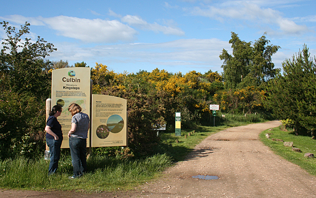
Image: © Anne Burgess Taken: 9 Jun 2011
The sign at the end of the car park at Kingsteps informs visitors about the Culbin Nature Reserve, and warns against obstructing adjacent house entrances, using motorbikes, damaging the saltmarsh and leaving litter or dog waste.
Images are licensed for reuse under creativecommons.org/licenses/by-sa/2.0
Image Location
Latitude
57.593671
Longitude
-3.838724