Bure Valley Path and Railway
Introduction
The photograph on this page of Bure Valley Path and Railway by Glen Denny as part of the Geograph project.
The Geograph project started in 2005 with the aim of publishing, organising and preserving representative images for every square kilometre of Great Britain, Ireland and the Isle of Man.

There are currently over 7.5m images from over 14,400 individuals and you can help contribute to the project by visiting https://www.geograph.org.uk
Bure Valley Path and Railway
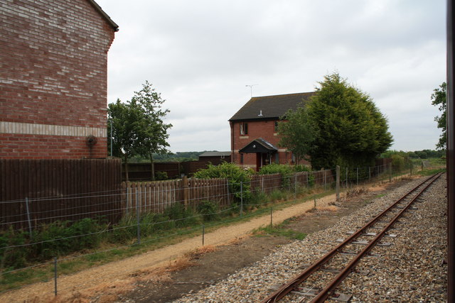
Image: © Glen Denny Taken: 28 May 2011
The Bure Valley Path is seen from a Bure Valley Railway train, heading towards Aylsham bypass and Wroxham. The line adjacent to the path is a loop line, which rejoins the main line just beyond the housing estate.
Images are licensed for reuse under creativecommons.org/licenses/by-sa/2.0
Image Location
Latitude
52.790741
Longitude
1.25825