Cairndhu House
Introduction
The photograph on this page of Cairndhu House by Lairich Rig as part of the Geograph project.
The Geograph project started in 2005 with the aim of publishing, organising and preserving representative images for every square kilometre of Great Britain, Ireland and the Isle of Man.

There are currently over 7.5m images from over 14,400 individuals and you can help contribute to the project by visiting https://www.geograph.org.uk
Cairndhu House
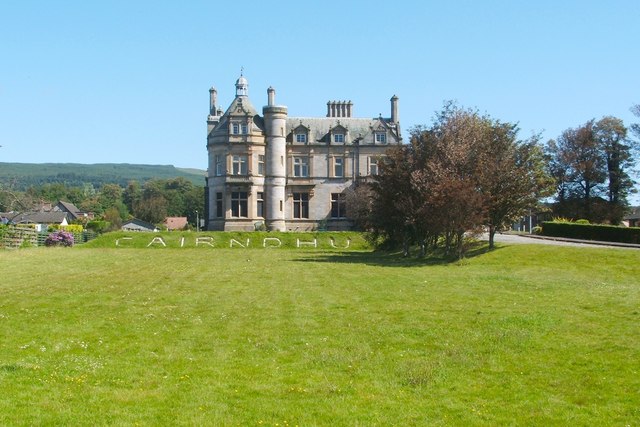
Image: © Lairich Rig Taken: 3 Jun 2011
For an architectural description of this building, which is by William Leiper ( http://www.geograph.org.uk/snippet/5615 ), see its listed building report: http://portal.historic-scotland.gov.uk/designation/LB34847 (at Historic Environment Scotland). See https://canmore.org.uk/site/197439/helensburgh-cairndhu-gardens-cairndhu-house (at Canmore) for further images, including some interior details. For other views of this building on Geograph, and for further details of the uses to which it has been put, see Image and Image
Images are licensed for reuse under creativecommons.org/licenses/by-sa/2.0
Image Location
Latitude
56.006446
Longitude
-4.753291