Northiam Village Sign
Introduction
The photograph on this page of Northiam Village Sign by David Anstiss as part of the Geograph project.
The Geograph project started in 2005 with the aim of publishing, organising and preserving representative images for every square kilometre of Great Britain, Ireland and the Isle of Man.

There are currently over 7.5m images from over 14,400 individuals and you can help contribute to the project by visiting https://www.geograph.org.uk
Northiam Village Sign
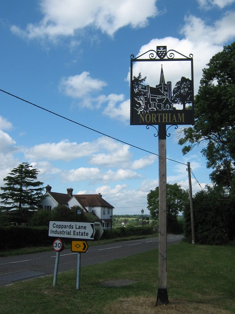
Image: © David Anstiss Taken: 7 Jun 2011
This sign is at the junction of the A28 Hastings Road (on the left) and Coppards Lane. The town has two signs. This one near Northiam and then another one near St, Mary's Church.
Images are licensed for reuse under creativecommons.org/licenses/by-sa/2.0
Image Location


Leaflet Map data © OpenStreetMap
Latitude
51.003764
Longitude
0.611046