Exe flood plain, Duvale
Introduction
The photograph on this page of Exe flood plain, Duvale by Derek Harper as part of the Geograph project.
The Geograph project started in 2005 with the aim of publishing, organising and preserving representative images for every square kilometre of Great Britain, Ireland and the Isle of Man.

There are currently over 7.5m images from over 14,400 individuals and you can help contribute to the project by visiting https://www.geograph.org.uk
Exe flood plain, Duvale
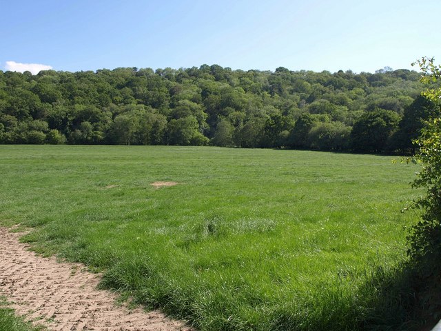
Image: © Derek Harper Taken: 3 Jun 2011
The view on the other side of the A396 from Image, with a grassy field stretching away to the river, which runs between trees at the foot of the far slope. Holmingham Wood climbs above.
Images are licensed for reuse under creativecommons.org/licenses/by-sa/2.0
Image Location


Leaflet Map data © OpenStreetMap
Latitude
50.973371
Longitude
-3.50258