Pittentrail village
Introduction
The photograph on this page of Pittentrail village by Carl Farnell as part of the Geograph project.
The Geograph project started in 2005 with the aim of publishing, organising and preserving representative images for every square kilometre of Great Britain, Ireland and the Isle of Man.

There are currently over 7.5m images from over 14,400 individuals and you can help contribute to the project by visiting https://www.geograph.org.uk
Pittentrail village
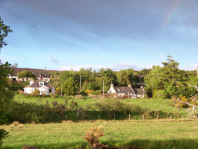
Image: © Carl Farnell Taken: 31 May 2011
Looking from the river bank at part of Pittentrail, Sutherland. The foreground houses are on A839. The houses further back are on Gordon Place. The line of bushes and fence in the near foreground mark where the railway runs.
Images are licensed for reuse under creativecommons.org/licenses/by-sa/2.0
Image Location


Leaflet Map data © OpenStreetMap
Latitude
57.987628
Longitude
-4.154566