B3227 northeast of Bampton
Introduction
The photograph on this page of B3227 northeast of Bampton by Derek Harper as part of the Geograph project.
The Geograph project started in 2005 with the aim of publishing, organising and preserving representative images for every square kilometre of Great Britain, Ireland and the Isle of Man.

There are currently over 7.5m images from over 14,400 individuals and you can help contribute to the project by visiting https://www.geograph.org.uk
B3227 northeast of Bampton
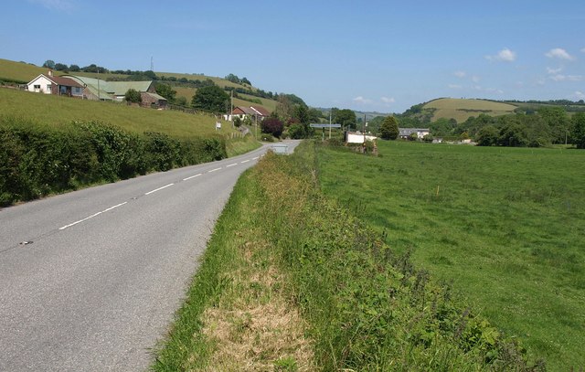
Image: © Derek Harper Taken: 3 Jun 2011
The B road runs along the northwest side of the Batherm valley. Court Grove Farm is on the left. In the centre, on the right side of the road, is a garage.
Images are licensed for reuse under creativecommons.org/licenses/by-sa/2.0
Image Location
Latitude
50.993927
Longitude
-3.48187