Batherm valley
Introduction
The photograph on this page of Batherm valley by Derek Harper as part of the Geograph project.
The Geograph project started in 2005 with the aim of publishing, organising and preserving representative images for every square kilometre of Great Britain, Ireland and the Isle of Man.

There are currently over 7.5m images from over 14,400 individuals and you can help contribute to the project by visiting https://www.geograph.org.uk
Batherm valley
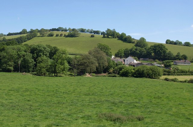
Image: © Derek Harper Taken: 3 Jun 2011
Looking across the valley of the River Batherm from the B3227, with Kersdown Barton the farm. Behind rises Barton Knap.
Images are licensed for reuse under creativecommons.org/licenses/by-sa/2.0
Image Location
Latitude
50.991589
Longitude
-3.481795