Railway bridge near Spring's Farm
Introduction
The photograph on this page of Railway bridge near Spring's Farm by Trevor Rickard as part of the Geograph project.
The Geograph project started in 2005 with the aim of publishing, organising and preserving representative images for every square kilometre of Great Britain, Ireland and the Isle of Man.

There are currently over 7.5m images from over 14,400 individuals and you can help contribute to the project by visiting https://www.geograph.org.uk
Railway bridge near Spring's Farm
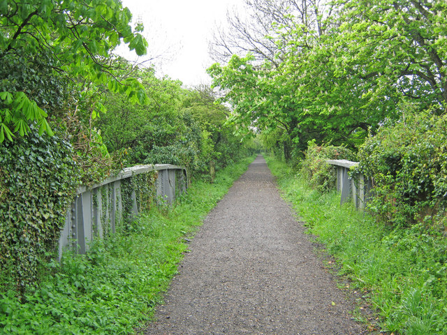
Image: © Trevor Rickard Taken: 8 May 2010
Looking west along the disused Southwell-Mansfield railway, now the Southwell Trail. The bridge spans the entrance lane to Spring's Farm.
Images are licensed for reuse under creativecommons.org/licenses/by-sa/2.0
Image Location
Latitude
53.102428
Longitude
-1.004029