Bayard's Oast
Introduction
The photograph on this page of Bayard's Oast by David Anstiss as part of the Geograph project.
The Geograph project started in 2005 with the aim of publishing, organising and preserving representative images for every square kilometre of Great Britain, Ireland and the Isle of Man.

There are currently over 7.5m images from over 14,400 individuals and you can help contribute to the project by visiting https://www.geograph.org.uk
Bayard's Oast
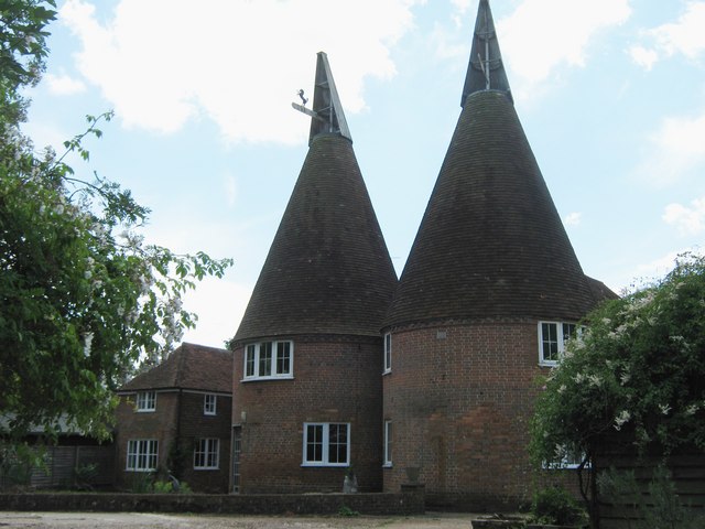
Image: © David Anstiss Taken: 7 Jun 2011
Grade II listed Oast House as seen from a footpath heading from the A28 Hastings Road towards Sandhurst Lane. It was part of Merrington Place. See http://www.britishlistedbuildings.co.uk/en-180322-oasthouses-at-bayard-s-oast-rolvenden for more details about the building
Images are licensed for reuse under creativecommons.org/licenses/by-sa/2.0
Image Location
Latitude
51.045913
Longitude
0.623406