Bunker on South Shields Golf Course at Cleadon Hill
Introduction
The photograph on this page of Bunker on South Shields Golf Course at Cleadon Hill by Peter Robinson as part of the Geograph project.
The Geograph project started in 2005 with the aim of publishing, organising and preserving representative images for every square kilometre of Great Britain, Ireland and the Isle of Man.

There are currently over 7.5m images from over 14,400 individuals and you can help contribute to the project by visiting https://www.geograph.org.uk
Bunker on South Shields Golf Course at Cleadon Hill
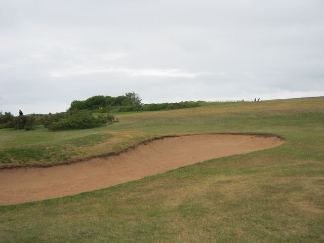
Image: © Peter Robinson Taken: 5 Jun 2011
Images are licensed for reuse under creativecommons.org/licenses/by-sa/2.0
Image Location
Latitude
54.968829
Longitude
-1.391562