View down to the A619
Introduction
The photograph on this page of View down to the A619 by Andrew Hill as part of the Geograph project.
The Geograph project started in 2005 with the aim of publishing, organising and preserving representative images for every square kilometre of Great Britain, Ireland and the Isle of Man.

There are currently over 7.5m images from over 14,400 individuals and you can help contribute to the project by visiting https://www.geograph.org.uk
View down to the A619
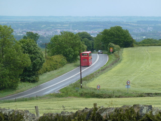
Image: © Andrew Hill Taken: 7 Jun 2011
View from a footpath above the junction of the main road with Hallcliff Lane. A double decker bus just happened to be passing, which was nice timing for the picture.
Images are licensed for reuse under creativecommons.org/licenses/by-sa/2.0
Image Location
Latitude
53.231664
Longitude
-1.523123