Holymoor Road towards Chatsworth Road
Introduction
The photograph on this page of Holymoor Road towards Chatsworth Road by Andrew Hill as part of the Geograph project.
The Geograph project started in 2005 with the aim of publishing, organising and preserving representative images for every square kilometre of Great Britain, Ireland and the Isle of Man.

There are currently over 7.5m images from over 14,400 individuals and you can help contribute to the project by visiting https://www.geograph.org.uk
Holymoor Road towards Chatsworth Road
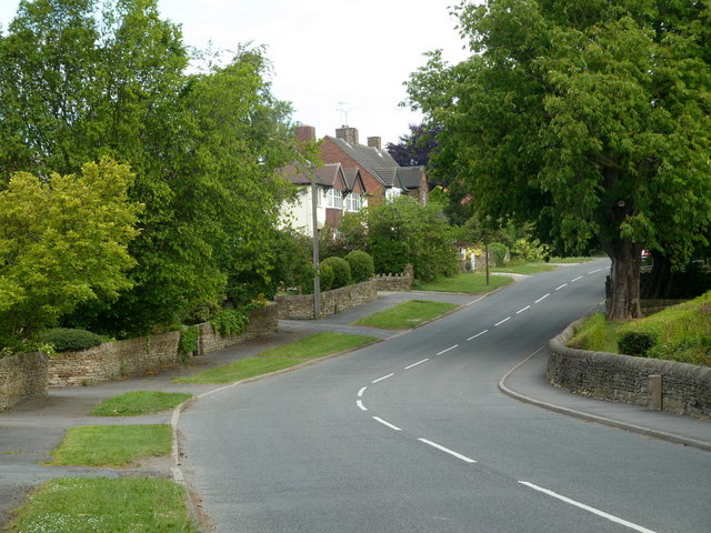
Image: © Andrew Hill Taken: 7 Jun 2011
The road from Holymoorside has ribbon housing almost all the way north to the main A619 west of Chesterfield.
Images are licensed for reuse under creativecommons.org/licenses/by-sa/2.0
Image Location
Latitude
53.227115
Longitude
-1.488422