The Ceredigion Coast Path above Hatling Fawr
Introduction
The photograph on this page of The Ceredigion Coast Path above Hatling Fawr by Richard Law as part of the Geograph project.
The Geograph project started in 2005 with the aim of publishing, organising and preserving representative images for every square kilometre of Great Britain, Ireland and the Isle of Man.

There are currently over 7.5m images from over 14,400 individuals and you can help contribute to the project by visiting https://www.geograph.org.uk
The Ceredigion Coast Path above Hatling Fawr
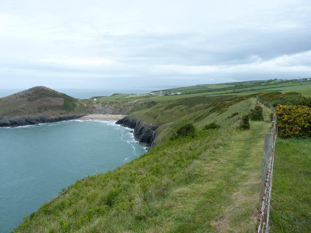
Image: © Richard Law Taken: 29 May 2011
Back in the direction of Traeth y Mwnt from the (now formalised) coastal footpath.
Images are licensed for reuse under creativecommons.org/licenses/by-sa/2.0
Image Location


Leaflet Map data © OpenStreetMap
Latitude
52.132948
Longitude
-4.647266