Zion Methodist Church
Introduction
The photograph on this page of Zion Methodist Church by Carl Farnell as part of the Geograph project.
The Geograph project started in 2005 with the aim of publishing, organising and preserving representative images for every square kilometre of Great Britain, Ireland and the Isle of Man.

There are currently over 7.5m images from over 14,400 individuals and you can help contribute to the project by visiting https://www.geograph.org.uk
Zion Methodist Church
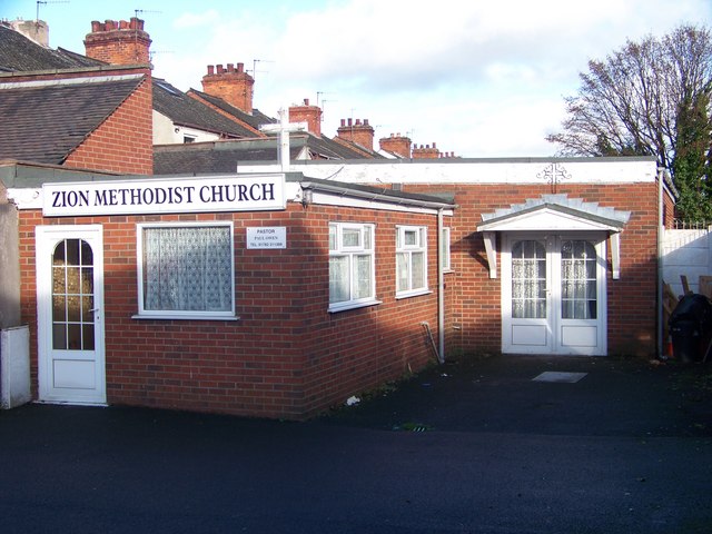
Image: © Carl Farnell Taken: 15 Nov 2009
Situated on Cotesheath Street, Joiner's Square, Stoke-on-Trent. ST1 3JD Off Victoria Road (A50) which 200mtrs further north meets at roundabout for Leek Road (A52) and Lichfield Street (A50).
Images are licensed for reuse under creativecommons.org/licenses/by-sa/2.0
Image Location
Latitude
53.014515
Longitude
-2.167794