Glengall Bridge, Millwall Dock
Introduction
The photograph on this page of Glengall Bridge, Millwall Dock by Malc McDonald as part of the Geograph project.
The Geograph project started in 2005 with the aim of publishing, organising and preserving representative images for every square kilometre of Great Britain, Ireland and the Isle of Man.

There are currently over 7.5m images from over 14,400 individuals and you can help contribute to the project by visiting https://www.geograph.org.uk
Glengall Bridge, Millwall Dock
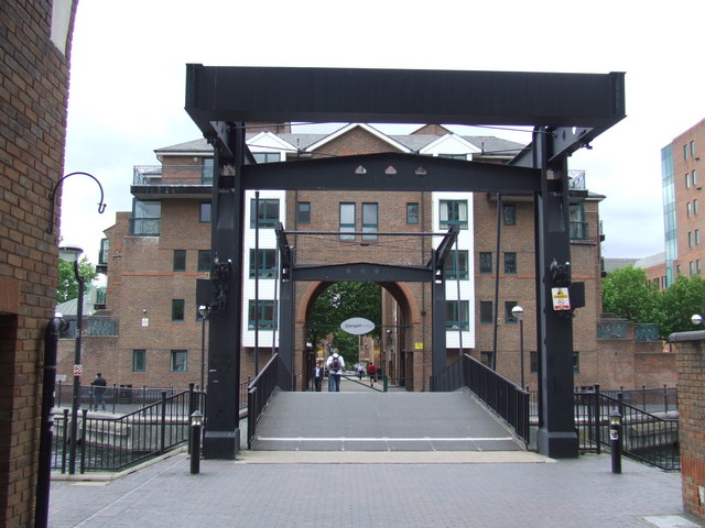
Image: © Malc McDonald Taken: 7 Jun 2011
This lifting bridge was built to carry Glengall Road across Millwall Dock. After the docks closed, the area became derelict for a time before regeneration transformed London's Docklands.
Images are licensed for reuse under creativecommons.org/licenses/by-sa/2.0
Image Location
Latitude
51.496129
Longitude
-0.016591