Looking along Shuttlewood Road
Introduction
The photograph on this page of Looking along Shuttlewood Road by Andrew Hill as part of the Geograph project.
The Geograph project started in 2005 with the aim of publishing, organising and preserving representative images for every square kilometre of Great Britain, Ireland and the Isle of Man.

There are currently over 7.5m images from over 14,400 individuals and you can help contribute to the project by visiting https://www.geograph.org.uk
Looking along Shuttlewood Road
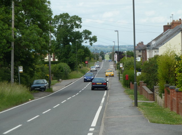
Image: © Andrew Hill Taken: 6 Jun 2011
The long road (B6419) descending from Bolsover to Shuttlewood has light density ribbon development housing almost all the way - the expansive outlook to the west no doubt being the reason.
Images are licensed for reuse under creativecommons.org/licenses/by-sa/2.0
Image Location
Latitude
53.245274
Longitude
-1.29474