Track leading to Beechwood Farm
Introduction
The photograph on this page of Track leading to Beechwood Farm by Richard Thomas as part of the Geograph project.
The Geograph project started in 2005 with the aim of publishing, organising and preserving representative images for every square kilometre of Great Britain, Ireland and the Isle of Man.

There are currently over 7.5m images from over 14,400 individuals and you can help contribute to the project by visiting https://www.geograph.org.uk
Track leading to Beechwood Farm
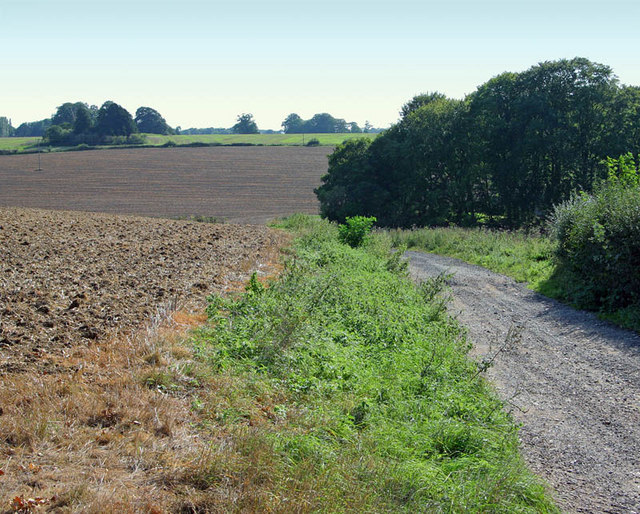
Image: © Richard Thomas Taken: 21 Sep 2006
Beechwood Farm offers B and B and is accessed via this track which forms part of a Hertfordshire marked footpath. It must be a very remote but peaceful location.
Images are licensed for reuse under creativecommons.org/licenses/by-sa/2.0
Image Location
Latitude
51.827492
Longitude
-0.487929