The M12 near Portadown
Introduction
The photograph on this page of The M12 near Portadown by Albert Bridge as part of the Geograph project.
The Geograph project started in 2005 with the aim of publishing, organising and preserving representative images for every square kilometre of Great Britain, Ireland and the Isle of Man.

There are currently over 7.5m images from over 14,400 individuals and you can help contribute to the project by visiting https://www.geograph.org.uk
The M12 near Portadown
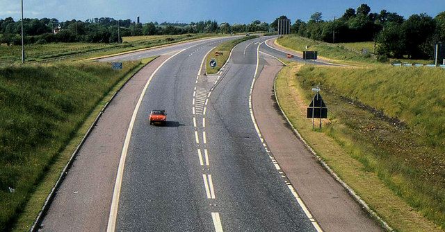
Image: © Albert Bridge Taken: 22 Jun 1980
For the background to the M12 see Image This is the approach to the start of the M12, looking towards Belfast, seen from the flyover at the Carn roundabout. The Northway Image, to/from Portadown, occupies the foreground.
Images are licensed for reuse under creativecommons.org/licenses/by-sa/2.0
Image Location
Latitude
54.449001
Longitude
-6.426004