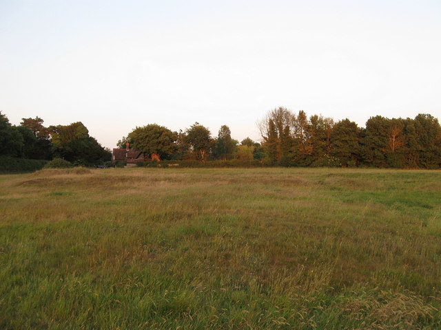
Site of Medieval Village of Arlington (1)
Introduction
The photograph on this page of Site of Medieval Village of Arlington (1) by Simon Carey as part of the Geograph project.
The Geograph project started in 2005 with the aim of publishing, organising and preserving representative images for every square kilometre of Great Britain, Ireland and the Isle of Man.
There are currently over 7.5m images from over 14,400 individuals and you can help contribute to the project by visiting https://www.geograph.org.uk

Image: © Simon Carey Taken: 3 Jun 2011
In a field called The Sluices according to the tithe map of 1843. The medieval village was sited west of the church and there are still many earthworks visible on the ground as the land has never been ploughed and I believe the current farmer is paid not to do so. This view looks towards Image which lies at the end of the lane from the current village crossroads. In the past the village street continued following the course of the current Wealdway footpath. The village shrank or shifted sometime during the medieval period as by 1629 there were only three buildings left on the site, the old parsonage house out of shot to the left and two small cottages marked by the humps centre right. Another raised earthwork beyond is a little more modern as it marks the site of a World War Two gun emplacement.

