The Gatehouse
Introduction
The photograph on this page of The Gatehouse by Richard Thomas as part of the Geograph project.
The Geograph project started in 2005 with the aim of publishing, organising and preserving representative images for every square kilometre of Great Britain, Ireland and the Isle of Man.

There are currently over 7.5m images from over 14,400 individuals and you can help contribute to the project by visiting https://www.geograph.org.uk
The Gatehouse
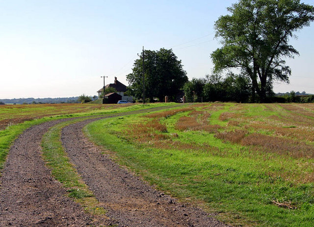
Image: © Richard Thomas Taken: 21 Sep 2006
Sat on the top the ridge running East/West is the house shown here. Why it is called the 'Gatehouse', is not evident.
Images are licensed for reuse under creativecommons.org/licenses/by-sa/2.0
Image Location
Latitude
51.864267
Longitude
-0.480887