Ambleside Way
Introduction
The photograph on this page of Ambleside Way by David Stowell as part of the Geograph project.
The Geograph project started in 2005 with the aim of publishing, organising and preserving representative images for every square kilometre of Great Britain, Ireland and the Isle of Man.

There are currently over 7.5m images from over 14,400 individuals and you can help contribute to the project by visiting https://www.geograph.org.uk
Ambleside Way
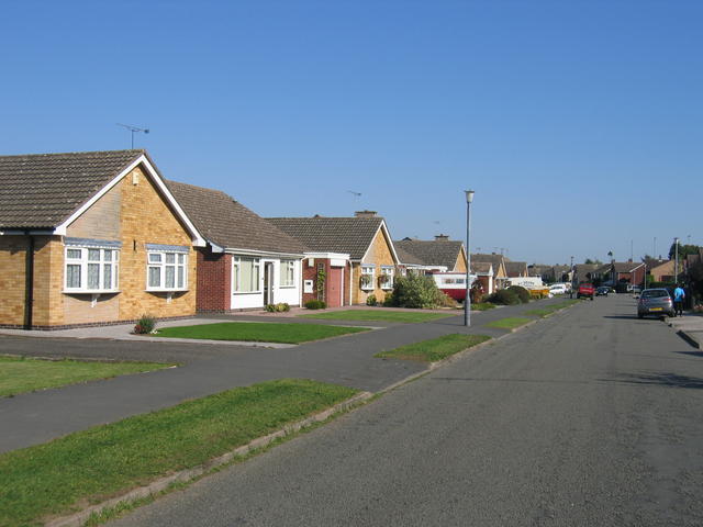
Image: © David Stowell Taken: 21 Sep 2006
Most of the roads in the 1960s built area of St Nicolas Park seem to take their names from the Lake District.
Images are licensed for reuse under creativecommons.org/licenses/by-sa/2.0
Image Location
Latitude
52.531796
Longitude
-1.451574