Field rising to High House Farm
Introduction
The photograph on this page of Field rising to High House Farm by Andrew Hill as part of the Geograph project.
The Geograph project started in 2005 with the aim of publishing, organising and preserving representative images for every square kilometre of Great Britain, Ireland and the Isle of Man.

There are currently over 7.5m images from over 14,400 individuals and you can help contribute to the project by visiting https://www.geograph.org.uk
Field rising to High House Farm
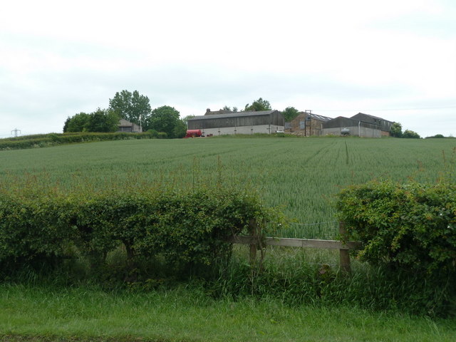
Image: © Andrew Hill Taken: 6 Jun 2011
View from Shire Lane between Heath and Sutton Scarsdale.
Images are licensed for reuse under creativecommons.org/licenses/by-sa/2.0
Image Location
Latitude
53.203586
Longitude
-1.345728