East Coast Main Line
Introduction
The photograph on this page of East Coast Main Line by Richard Croft as part of the Geograph project.
The Geograph project started in 2005 with the aim of publishing, organising and preserving representative images for every square kilometre of Great Britain, Ireland and the Isle of Man.

There are currently over 7.5m images from over 14,400 individuals and you can help contribute to the project by visiting https://www.geograph.org.uk
East Coast Main Line
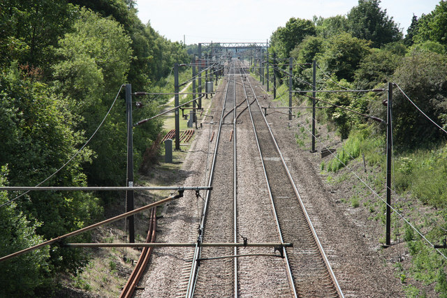
Image: © Richard Croft Taken: 4 Jun 2011
Inter-City mainline looking south from Mattersey Road bridge
Images are licensed for reuse under creativecommons.org/licenses/by-sa/2.0
Image Location
Latitude
53.38607
Longitude
-1.008098