War Memorial, St Mark's Church, Dukinfield
Introduction
The photograph on this page of War Memorial, St Mark's Church, Dukinfield by David Dixon as part of the Geograph project.
The Geograph project started in 2005 with the aim of publishing, organising and preserving representative images for every square kilometre of Great Britain, Ireland and the Isle of Man.

There are currently over 7.5m images from over 14,400 individuals and you can help contribute to the project by visiting https://www.geograph.org.uk
War Memorial, St Mark's Church, Dukinfield
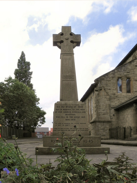
Image: © David Dixon Taken: 4 Jun 2011
The war memorial, alongside St Mark's church (which can be seen behind the memorial). For a list of names, see http://www.carlscam.com/dukinfield/markmem.htm .
Images are licensed for reuse under creativecommons.org/licenses/by-sa/2.0
Image Location
Latitude
53.480125
Longitude
-2.095192