The Knowle/Street Field
Introduction
The photograph on this page of The Knowle/Street Field by Simon Carey as part of the Geograph project.
The Geograph project started in 2005 with the aim of publishing, organising and preserving representative images for every square kilometre of Great Britain, Ireland and the Isle of Man.

There are currently over 7.5m images from over 14,400 individuals and you can help contribute to the project by visiting https://www.geograph.org.uk
The Knowle/Street Field
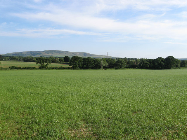
Image: © Simon Carey Taken: 3 Jun 2011
Another view of Image from Tye Hill Lane with Wilmington Hill and Windover Hill providing the backdrop.
Images are licensed for reuse under creativecommons.org/licenses/by-sa/2.0
Image Location
Latitude
50.846548
Longitude
0.194815