Footpath above the Nant Onneu valley
Introduction
The photograph on this page of Footpath above the Nant Onneu valley by Jeremy Bolwell as part of the Geograph project.
The Geograph project started in 2005 with the aim of publishing, organising and preserving representative images for every square kilometre of Great Britain, Ireland and the Isle of Man.

There are currently over 7.5m images from over 14,400 individuals and you can help contribute to the project by visiting https://www.geograph.org.uk
Footpath above the Nant Onneu valley
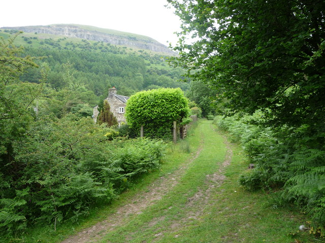
Image: © Jeremy Bolwell Taken: 5 Jun 2011
This footpath heads up this little valley towards the steep escarpment of Craig y Cilau above and follows the line of an old tramroad that took loaded wagons of limestone to the canal at Llangattock.
Images are licensed for reuse under creativecommons.org/licenses/by-sa/2.0
Image Location
Latitude
51.841899
Longitude
-3.161609