Kentish Town
Introduction
The photograph on this page of Kentish Town by Stephen McKay as part of the Geograph project.
The Geograph project started in 2005 with the aim of publishing, organising and preserving representative images for every square kilometre of Great Britain, Ireland and the Isle of Man.

There are currently over 7.5m images from over 14,400 individuals and you can help contribute to the project by visiting https://www.geograph.org.uk
Kentish Town
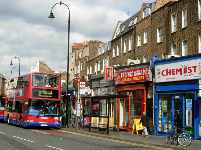
Image: © Stephen McKay Taken: 20 Sep 2006
Looking north along Kentish Town Road. The name 'Kentish Town' seems a strange one for a north London district, but is believed to derive from 'the estate of a man named Kentish'. The destination on the bus ('Parliament Hill Fields') is incorrect; it is heading to Oxford circus.
Images are licensed for reuse under creativecommons.org/licenses/by-sa/2.0
Image Location
Latitude
51.545581
Longitude
-0.142512