Woodland, Shirley Church Recreation Ground
Introduction
The photograph on this page of Woodland, Shirley Church Recreation Ground by N Chadwick as part of the Geograph project.
The Geograph project started in 2005 with the aim of publishing, organising and preserving representative images for every square kilometre of Great Britain, Ireland and the Isle of Man.

There are currently over 7.5m images from over 14,400 individuals and you can help contribute to the project by visiting https://www.geograph.org.uk
Woodland, Shirley Church Recreation Ground
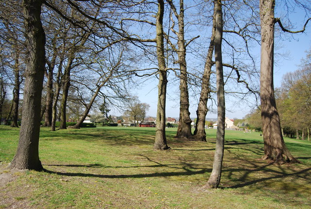
Image: © N Chadwick Taken: 9 Apr 2011
A local recreation ground which was purchased in 1928 by the Council to preserve an area of open space among the suburban estates which were rapidly developing. The trees along Shirley Church Road are clearly marked on a map dated 1868 which suggests that the area was well wooded in previous years.
Images are licensed for reuse under creativecommons.org/licenses/by-sa/2.0
Image Location
Latitude
51.370197
Longitude
-0.04675