Placket Field
Introduction
The photograph on this page of Placket Field by Simon Carey as part of the Geograph project.
The Geograph project started in 2005 with the aim of publishing, organising and preserving representative images for every square kilometre of Great Britain, Ireland and the Isle of Man.

There are currently over 7.5m images from over 14,400 individuals and you can help contribute to the project by visiting https://www.geograph.org.uk
Placket Field
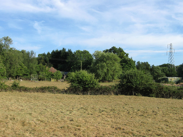
Image: © Simon Carey Taken: 3 Jun 2011
The name of the field according to Arlington's 1843 tithe map that has now been subdivided into a number of small plots. The house partially obscured by trees is Rest-a-Wyle and was built after the Second World War.
Images are licensed for reuse under creativecommons.org/licenses/by-sa/2.0
Image Location
Latitude
50.842861
Longitude
0.204301