Fields north of Dunston Road
Introduction
The photograph on this page of Fields north of Dunston Road by Andrew Hill as part of the Geograph project.
The Geograph project started in 2005 with the aim of publishing, organising and preserving representative images for every square kilometre of Great Britain, Ireland and the Isle of Man.

There are currently over 7.5m images from over 14,400 individuals and you can help contribute to the project by visiting https://www.geograph.org.uk
Fields north of Dunston Road
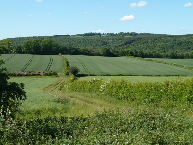
Image: © Andrew Hill Taken: 3 Jun 2011
View from the start of the farm track to Dunston Hole Farm. The map shows an extensive trading estate, which is out of sight in the valley, with woodland in view rising beyond.
Images are licensed for reuse under creativecommons.org/licenses/by-sa/2.0
Image Location
Latitude
53.267608
Longitude
-1.457502