
Longshaws Mill
Introduction
The photograph on this page of Longshaws Mill by Les Hull as part of the Geograph project.
The Geograph project started in 2005 with the aim of publishing, organising and preserving representative images for every square kilometre of Great Britain, Ireland and the Isle of Man.

There are currently over 7.5m images from over 14,400 individuals and you can help contribute to the project by visiting https://www.geograph.org.uk
Longshaws Mill
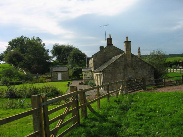
Image: © Les Hull Taken: 20 Sep 2006
Keys to the Past Web Site: This building is noted as a corn mill in early mapping of the area. Such sites often changed uses - though still using supplied water power for some length of time. Later maps after the 1st edition Ordnance Survey only state the name of the site. The mill race can be seen to the west of the main building coming directly from the river.
Images are licensed for reuse under creativecommons.org/licenses/by-sa/2.0
Image Location

Latitude
55.199632
Longitude
-1.820873