Two Bridges
Introduction
The photograph on this page of Two Bridges by Gerald England as part of the Geograph project.
The Geograph project started in 2005 with the aim of publishing, organising and preserving representative images for every square kilometre of Great Britain, Ireland and the Isle of Man.

There are currently over 7.5m images from over 14,400 individuals and you can help contribute to the project by visiting https://www.geograph.org.uk
Two Bridges
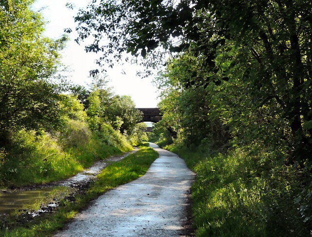
Image: © Gerald England Taken: 31 May 2011
Along the Trans Pennine Trail on the former Godley to Apethorn railway line. Ahead is the footbridge connecting Peel Street to Mansfield. Beyond that can be seen the bridge connecting Grange Road South to Grange Road North.
Images are licensed for reuse under creativecommons.org/licenses/by-sa/2.0
Image Location
Latitude
53.446437
Longitude
-2.067714