Rivet bench mark on St Mary's Well
Introduction
The photograph on this page of Rivet bench mark on St Mary's Well by John S Turner as part of the Geograph project.
The Geograph project started in 2005 with the aim of publishing, organising and preserving representative images for every square kilometre of Great Britain, Ireland and the Isle of Man.

There are currently over 7.5m images from over 14,400 individuals and you can help contribute to the project by visiting https://www.geograph.org.uk
Rivet bench mark on St Mary's Well
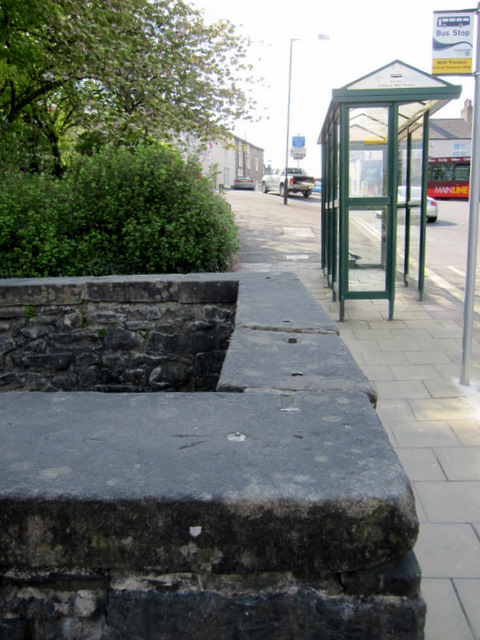
Image: © John S Turner Taken: 28 Apr 2011
Looking west across the top of St Mary's Well. There is a weathered rivet bench mark on top of the near corner of the well Image
Images are licensed for reuse under creativecommons.org/licenses/by-sa/2.0
Image Location


Leaflet Map data © OpenStreetMap
Latitude
53.875009
Longitude
-2.38918