Canal near Tobacco Dock, Wapping
Introduction
The photograph on this page of Canal near Tobacco Dock, Wapping by Malc McDonald as part of the Geograph project.
The Geograph project started in 2005 with the aim of publishing, organising and preserving representative images for every square kilometre of Great Britain, Ireland and the Isle of Man.

There are currently over 7.5m images from over 14,400 individuals and you can help contribute to the project by visiting https://www.geograph.org.uk
Canal near Tobacco Dock, Wapping
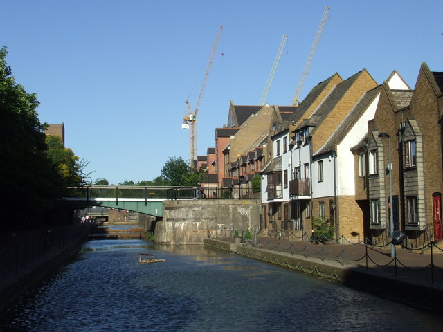
Image: © Malc McDonald Taken: 3 Jun 2011
A canal leading to Tobacco Dock in East London. As its name suggests, Tobacco Dock was where tobacco imported from overseas was unloaded from ships then stored. The whole area was once occupied by the London Docks, but is now largely used for housing.
Images are licensed for reuse under creativecommons.org/licenses/by-sa/2.0
Image Location
Latitude
51.507493
Longitude
-0.061635