Northbourne, BR2 (2)
Introduction
The photograph on this page of Northbourne, BR2 (2) by Mike Quinn as part of the Geograph project.
The Geograph project started in 2005 with the aim of publishing, organising and preserving representative images for every square kilometre of Great Britain, Ireland and the Isle of Man.

There are currently over 7.5m images from over 14,400 individuals and you can help contribute to the project by visiting https://www.geograph.org.uk
Northbourne, BR2 (2)
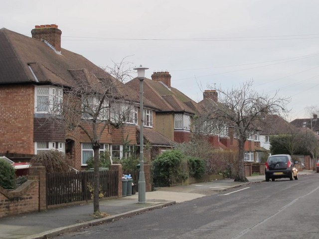
Image: © Mike Quinn Taken: 11 Jan 2011
See also Image The 1930s OS map http://openspace.nearby.org.uk/wheresthepath.htm?lat=51.38094141219077&lon=0.014506679202601471&gz=14&oz=9>=5 shows that the River Ravensbourne - Hayes Branch rises just north of Pickhurst Lane and flows to the east of Bourne Vale and under the western ends of Northbourne and Southbourne. Nothing of the stream is now visible above ground until it reaches Bromley Football Club - see Image
Images are licensed for reuse under creativecommons.org/licenses/by-sa/2.0
Image Location
Latitude
51.384334
Longitude
0.014845