Pontypool : Plasycoed Road crosses over a former railway line
Introduction
The photograph on this page of Pontypool : Plasycoed Road crosses over a former railway line by Jaggery as part of the Geograph project.
The Geograph project started in 2005 with the aim of publishing, organising and preserving representative images for every square kilometre of Great Britain, Ireland and the Isle of Man.

There are currently over 7.5m images from over 14,400 individuals and you can help contribute to the project by visiting https://www.geograph.org.uk
Pontypool : Plasycoed Road crosses over a former railway line
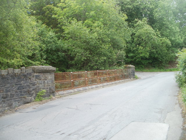
Image: © Jaggery Taken: 26 May 2011
The rusted metal meshing is on a bridge http://www.geograph.org.uk/photo/2442151 carrying Plasycoed Road over a footpath and cycleway, formerly a railway line.
Images are licensed for reuse under creativecommons.org/licenses/by-sa/2.0
Image Location
Latitude
51.706491
Longitude
-3.066527