Sweetcorn field by Chapel Wood
Introduction
The photograph on this page of Sweetcorn field by Chapel Wood by Espresso Addict as part of the Geograph project.
The Geograph project started in 2005 with the aim of publishing, organising and preserving representative images for every square kilometre of Great Britain, Ireland and the Isle of Man.

There are currently over 7.5m images from over 14,400 individuals and you can help contribute to the project by visiting https://www.geograph.org.uk
Sweetcorn field by Chapel Wood
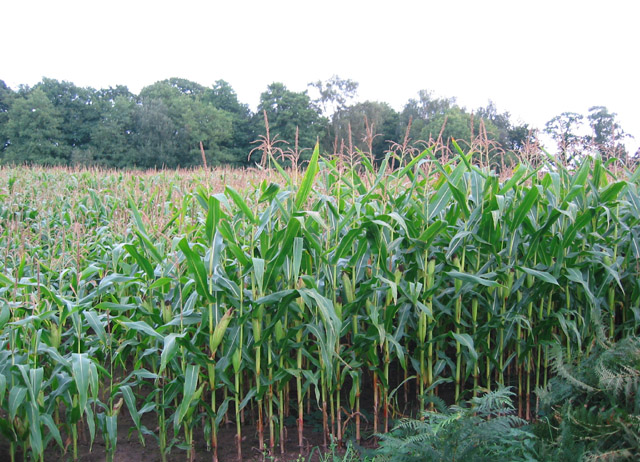
Image: © Espresso Addict Taken: 17 Sep 2006
Sweetcorn is a common land use in this area. The broadleaved wood on the horizon is Chapel Wood, near Ridley's Pool (not visible from the road). View from Hunsterson Road
Images are licensed for reuse under creativecommons.org/licenses/by-sa/2.0
Image Location
Latitude
53.016742
Longitude
-2.451617