The London Loop near Elstree
Introduction
The photograph on this page of The London Loop near Elstree by Des Blenkinsopp as part of the Geograph project.
The Geograph project started in 2005 with the aim of publishing, organising and preserving representative images for every square kilometre of Great Britain, Ireland and the Isle of Man.

There are currently over 7.5m images from over 14,400 individuals and you can help contribute to the project by visiting https://www.geograph.org.uk
The London Loop near Elstree
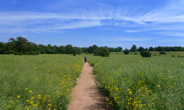
Image: © Des Blenkinsopp Taken: 25 May 2011
The London Loop path goes through what is shown as parkland on the map but as you can see it's planted up with rapeseed at the moment. I like the fishbone sky in this one.
Images are licensed for reuse under creativecommons.org/licenses/by-sa/2.0
Image Location


Leaflet Map data © OpenStreetMap
Latitude
51.64854
Longitude
-0.302658