Dunge Valley, green
Introduction
The photograph on this page of Dunge Valley, green by Peter Barr as part of the Geograph project.
The Geograph project started in 2005 with the aim of publishing, organising and preserving representative images for every square kilometre of Great Britain, Ireland and the Isle of Man.

There are currently over 7.5m images from over 14,400 individuals and you can help contribute to the project by visiting https://www.geograph.org.uk
Dunge Valley, green
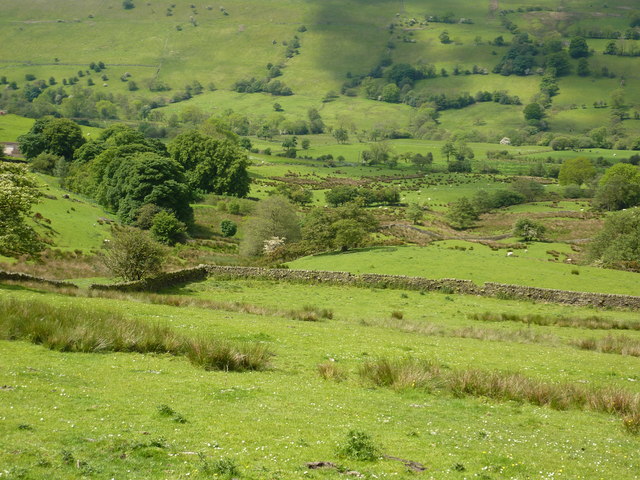
Image: © Peter Barr Taken: 31 May 2011
South of Kettleshulme, and to the west of the Goyt Forest, a wooded valley, with dry stone walls and a few sheep.
Images are licensed for reuse under creativecommons.org/licenses/by-sa/2.0
Image Location


Leaflet Map data © OpenStreetMap
Latitude
53.297783
Longitude
-2.021116